
Arctic sea ice at the middle of winter (January-March) is a measure of what’s to come because winter ice is the set-up for early spring, the time when polar bears do most of their feeding on young seals.
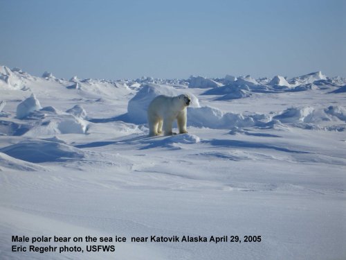
[Mid-winter photos of polar bears are hard to come by, partly because the Arctic is still dark for most hours of the day, it’s still bitterly cold, and scientists don’t venture out to do work on polar bears until the end of March at the earliest]
At 12 February this year, the ice was similar in overall extent to 2013 but higher than 2006.
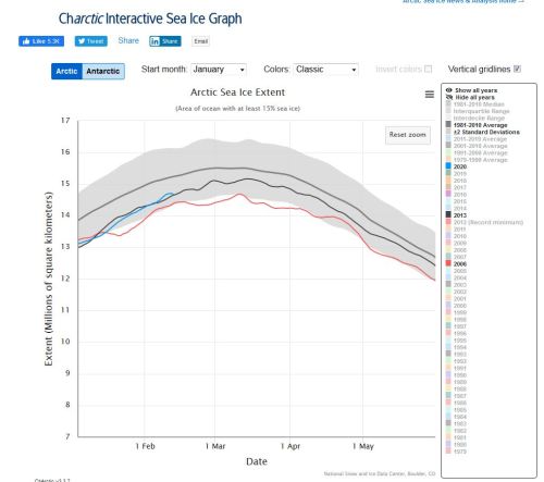
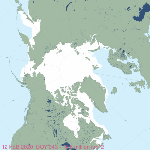
Remember, as far as polar bears are concerned, we can discount what’s happening in the Sea of Okhotsk, the Baltic Sea and the Gulf of St. Lawrence because these are outside the bears’ range (12 Feb 2020 below).
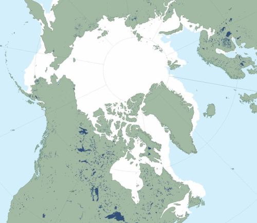
So for ice extent relevant to polar bears, this year is very like 2009 (below, 12 Feb 2009 at 14.9 mkm2) – especially with respect to the Barents Sea.
This extent of ice around Svalbard and Novaya Zemlya (below) has been rare since the late 1990s. Ice is within swimming distance of Bear Island and if the island becomes surrounded, as happened in March 2019, visits by polar bears are a near-certainty. However, this pack-ice tends to advance and retract at the edges over the season, so it’s possible that Bear Island will not see the ice this year.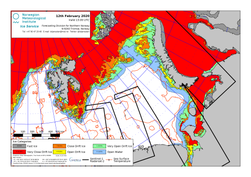
Polar bear researcher Andrew Derocher posted a map of the locations of his collared and ear-tagged bears last week (8 Feb 2020):
![]()
Ice thickness charts from the Canadian Ice Service for last week on Hudson Bay (week of Feb 10), below, shows a broad swath of medium first year ice (70-120 cm) across the centre and that will continue to thicken over the next few months:


You must be logged in to post a comment.