
Here’s the ground-truth follow-up to my suggestion of what polar bear habitat would likely look like 6 weeks after the minimum extent was reached this year – which was looking then like it would mirror 2009.
You’ll find my discussion, posted on September 22, here. At that point (September 13), ice extent was 5.1 million square kilometers; now it is 9.1 million square kilometers (Fig.1).
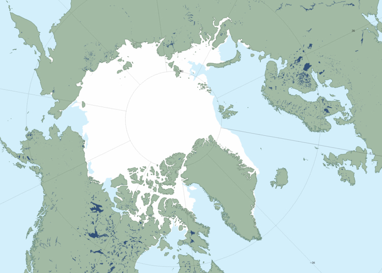
Figure 1. Oct 30 2013 Maisie sea ice extent, 9.1 mkm2. Click to enlarge.
Have a look at the maps below: Fig. 2 to see how ice extent at October 31st compares to ice extent at the end of October 2009, and Fig. 3 to see what ice concentrations looked like in the Canadian Arctic.


You must be logged in to post a comment.