How does the ancient distribution of polar bears – based on finds of natural-death remains (“fossils”) and bones found in archaeological sites – compare to the modern distribution of polar bears?
[Note: this post was updated 16 Feb. 2026 to indicate that an updated, published version of the data provided below is now available, and links are provided to my 2023 book on polar bear evolution that also includes more up-to-date information]
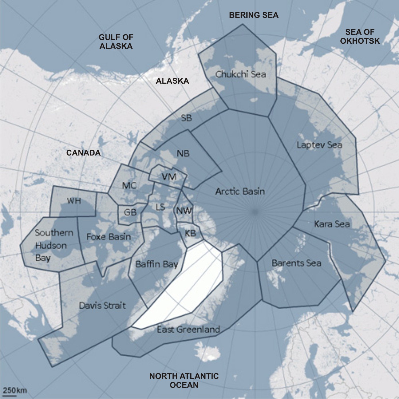
I have pulled together information from all of the reports I could find that listed ancient polar bear remains and summarized them into one table and one map. A low resolution copy of the map and a simplified version of the map notes are embedded in this post but a higher resolution version of the map and map notes (with pertinent details, including references) is available as a pdf. This document has been assigned an ISBN number (which means it is copyrighted and filed at Library and Archives Canada). The pdf can be downloaded below and will also be available on the PolarBearScience “references” page.
DOWNLOAD HERE: Ancient Polar Bear Remains_Crockford 2012
[small error fixed in yesterday’s version]
CITATION HERE:
Crockford, S.J. 2012. Annotated Map of Ancient Polar Bear Remains of the World. Electronic resource available at http://polarbearscience/references ISBN 978-0-9917966-0-1.
CITATION for the updated published version is below, announced and discussed in this blog post, which includes an updated copy of the map shown below: Ancient polar bear remains explained by sea ice and polynyas: my peer-reviewed paper, 6 May 2022.
Crockford, S. J. 2022. Polar bear fossil and archaeological records from the Pleistocene and Holocene in relation to sea ice extent and open water polynyas. Open Quaternary 8(7): 1-26. https://doi.org.10.5334/oq.107 [Open Access]
See also my polar bear evolution book published in 2023:
Crockford, S.J. 2023. Polar Bear Evolution: A Model for How New Species Arise. Amazon Digital Services, Victoria. https://www.amazon.com/dp/1778038328 Discussed here and here.

See map notes on pdf below for more details. Click to enlarge.
Continue reading


You must be logged in to post a comment.