
Arctic refreeze is well underway. Less than half way through the Arctic autumn (Oct-Dec), polar bear habitat on 11 November 2015 covered the same total area as it did on the last day of Arctic spring (April-June); it’s just distributed differently.

Yesterday, courtesy NSIDC Masie

Here is what 30 June 2015 ice extent looked like, with the same amount of ice coverage:

For the week of 12 November, Hudson Bay sea ice development is well underway, with more ice in the north than there has been in many years; Davis Strait ice is the highest this week since 1999 and Baffin Bay ice coverage is above average. Foxe Basin and the Beaufort Sea are both approaching maximum coverage, which means bears there will be back out on the ice hunting. Chukchi Sea ice has finally surrounded Wrangel Island but the Svalbard Archipelago in the Barents Sea is still ice-free. More ice maps and charts below.
From the Canadian Ice Service, for the week of 12 November
Hudson Bay, 1971-2015

Northwestern Hudson Bay, 1971-2015 (where Churchill is located, in the Western Hudson Bay polar bear subpopulation)

Hudson Strait, 1971-2015, to the east of Hudson Bay

Davis Strait, 1968-2015 – highest since 1999

Baffin Bay, 1971-2015 – notice how low ice coverage was from 1968-1974

Foxe Basin, 1968-2015 (north of Hudson Bay) – virtually filled with ice and again, notice the low ice coverage 1968-1974

Beaufort Sea, 1968-2015 – also virtually filled with ice. “Below average” is meaningless to polar bears in this context, since there is lots of ice to use as a hunting platform.

Canadian Arctic, 1971-2015 (minus Hudson Bay) – slightly above average for this week.

Ice maps for Canadian Waters, 2015 vs 2014 and 2014 at 12 November (from CIS)

Hudson Bay ice development at 11 November 2015. Grey ice (dark purple) is 10-15 cm thick; bears need about 30 cm or so to support their weight before they can get out onto the ice to hunt.

Last year (2014) on 12 November:

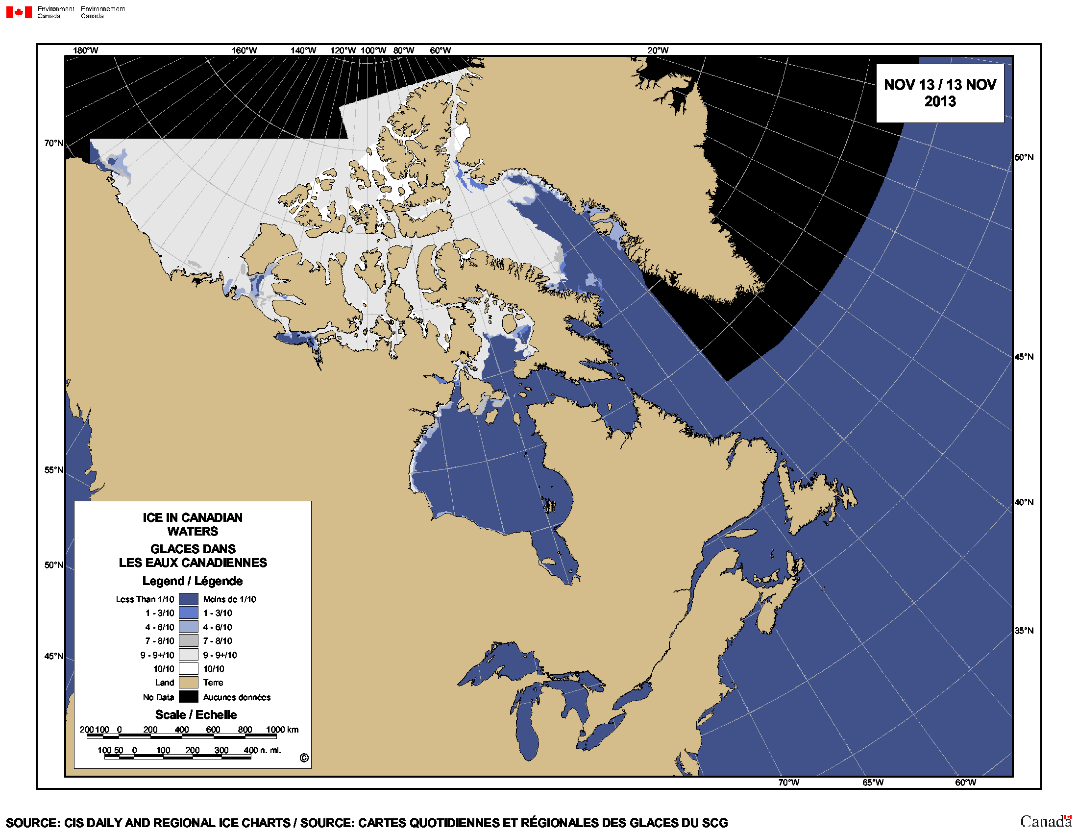
Year before last (2014), on 13 November (nearest date available in my archive):


You must be logged in to post a comment.