
Fourteen bears tagged by the US Geological Survey (USGS) on or near the central Southern Beaufort Sea coast in April 2018 (near Kaktovik) will be tracked online over the coming months.
The break in published USGS tagging data from March 2017 to April 2018 was the first since the project began in December 2009 but no explanation for the hiatus has been provided. It is therefore unclear whether no tagging occurred in spring 2017 or data was simply not published online. The last bears followed were tagged in March 2016.
In contrast to previous years, this spring all fourteen of the bears have glue-on ear transmitters, which means they are either adult males or juvenile bears rather than females (which are fitted with satellite collars):
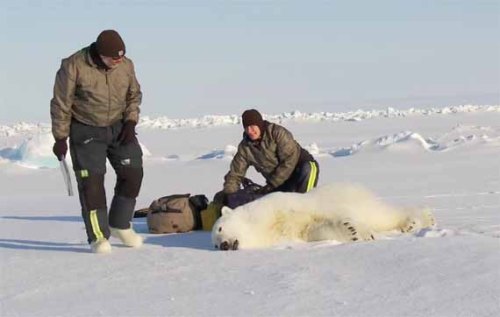
“In collaboration with the U.S. Fish and Wildlife Service we are also experimenting with glue-on and ear tag satellite transmitters, which can be deployed on adult male bears and younger, still-growing bears.”
This is the April 2018 follow-up to my first post on the July 2013 track map for polar bears being followed by satellite in the Beaufort Sea by the US Geological Survey (USGS) – “Ten out of ten polar bears being tracked this summer in the Beaufort Sea are on the ice.”
From original caption: “Movements of 14 satellite-tagged polar bear for the month of April, 2018. These bears received satellite eartag transmitters in 2018 on the spring-time sea ice of the southern Beaufort Sea. Polar bear satellite telemetry data are shown with MODIS imagery from 28 April, 2018.” Original image here.
Only five bears were tagged in 2016, all from the western region around Utqiafvik (formerly known as Barrow), compared to eight in 2015, and thirteen in 2013 .
The last effective map provided by the USGS on their website was for November 2016 (below), which showed a Southern Beaufort female tagged near Utqiafvik/Barrow, western Alaska had set up a den on the shore of Banks Island in the Northern Beaufort Sea subpopulation region. She was still there in March 2017.
Considering this female was 1 of 5 bears tagged that year, her emigration constitutes an example of the kind of cross-boundary movement in this region (discussed here and here) that confounds both harvest quotas and population estimates (also discussed in Crockford 2018 in relation to the change in boundary between the SB and NB provisionally accepted by the IUCN PBSG).
“Movements of 1 satellite-tagged polar bear for the month of November, 2016. This bear received a satellite collar transmitter in 2016 on the spring-time sea ice of the southern Beaufort Sea. Polar bear satellite telemetry data are shown with AMSR2 remotely-sensed ice coverage for 30 November, 2016.” Original image here.
In fact, two additional females were in the same general area as the bear shown above at the end of October 2016 (see below). However, because their signals disappeared by the time the November map was published, we don’t know if they also made maternity dens on or near Banks Island in the NB. If they did, it would mean that an astonishing 60% of females collared that spring in the SB had emigrated to NB to have their offspring.
Original caption: “Movements of 3 satellite-tagged polar bears for the month of October, 2016. Polar bears were tagged in 2016 on the spring-time sea ice of the southern Beaufort Sea. All 3 of these bears have satellite collar transmitters. Polar bear satellite telemetry data are shown with AMSR2 remotely-sensed ice coverage from 29 October, 2016.” See full resolution image here and close-up below.
Close-up of October 2016 map showing three females at north end of Banks Island, Canada.
Here are a few interesting posts from this series over the years, starting in July 2013 (posted August 29): here, here, here, and here.
References
Crockford, S.J. 2018. State of the Polar Bear Report 2017. Global Warming Policy Foundation Report #29. London. pdf here.


You must be logged in to post a comment.