
Sixteen females with satellite collars plus one with a glue-on transmitter – down from 17 with collars and 6 with tags last month – all out on the ice during the month of June 2015.
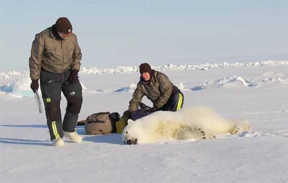
Polar bears were captured by USGS biologists in 2014 and 2015 on the spring-time sea ice of the southern Beaufort Sea. The glue-on tags don’t seem to be holding up very well, with only one remaining out of the original eight deployed this spring.
The USGS track map for June 2015 is copied below, original here (Fig.1).1
Figure 1. Original caption: “Movements of 17 satellite-tagged polar bears for the month of June, 2015. Polar bears were tagged in 2014 and 2015 on the spring-time sea ice of the southern Beaufort Sea. Sixteen of these bears have satellite collar transmitters and 1 of these bears has a glue-on satellite transmitter.” The sea ice image is from 21 June 2015.” Click to enlarge.
Note that the circles with the polar bear icons are the end points (final positions for the month), while the tail ends of the strings are the positions at the first of the month. Compare to last month here, June 2014 here.
Sea ice extent in the Southern Beaufort overall is somewhat higher than last year and much higher than 2012 (Fig. 2) but the ice offshore is still thick enough over the shelf for hunting, especially in the central portion where most of the collared bears are concentrated (Fig. 3).

Figure 2. Beaufort Sea ice extent to July 3, 2011-2015. NSIDC MASIE. Click to enlarge.

Figure 3. Beaufort Sea ice thickness at 5 July 2015. NRL. Click to enlarge.
Footnote 1. This is the June 2015 follow-up to my post on the July 2013 track map for female polar bears being followed by satellite in the Beaufort Sea by the US Geological Survey (USGS) – “Ten out of ten polar bears being tracked this summer in the Beaufort Sea are on the ice.” See that post for methods and other background on this topic, and some track maps from 2012 (also available at the USGS website here).


You must be logged in to post a comment.