
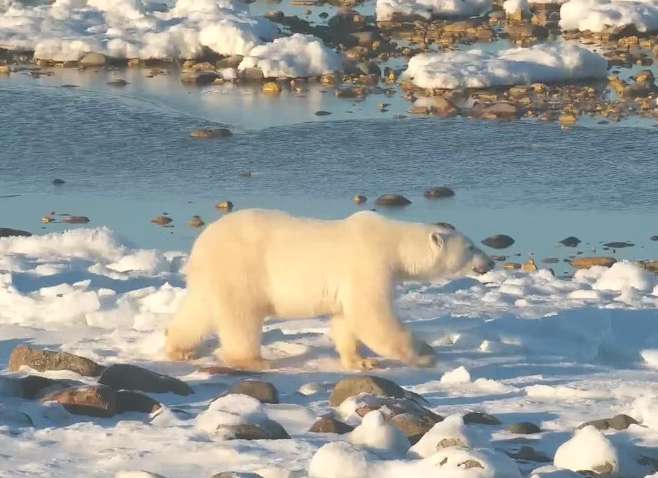
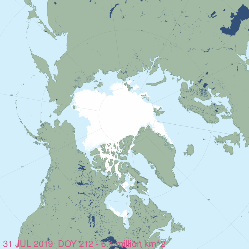
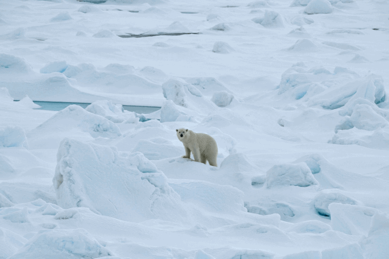
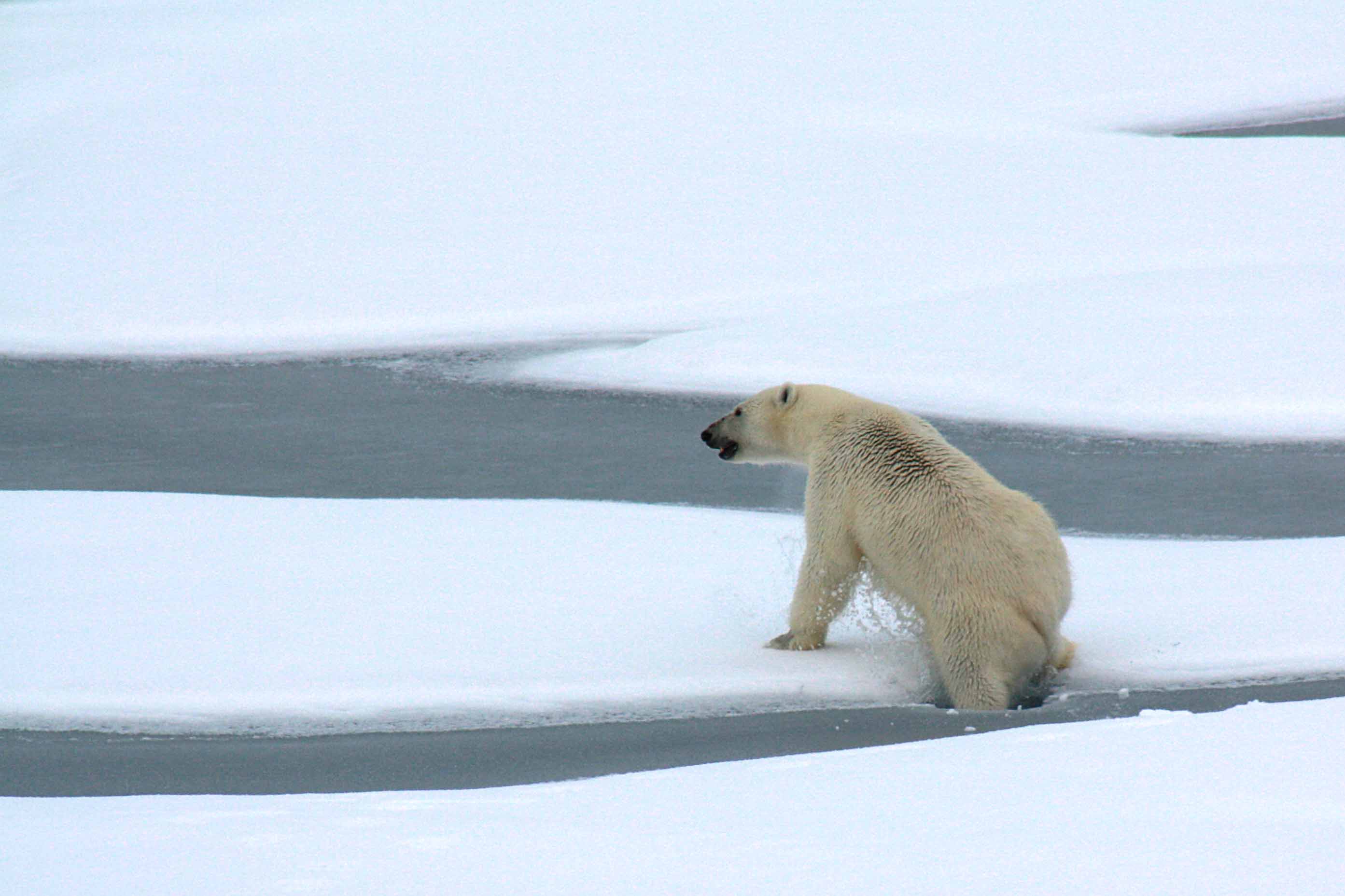
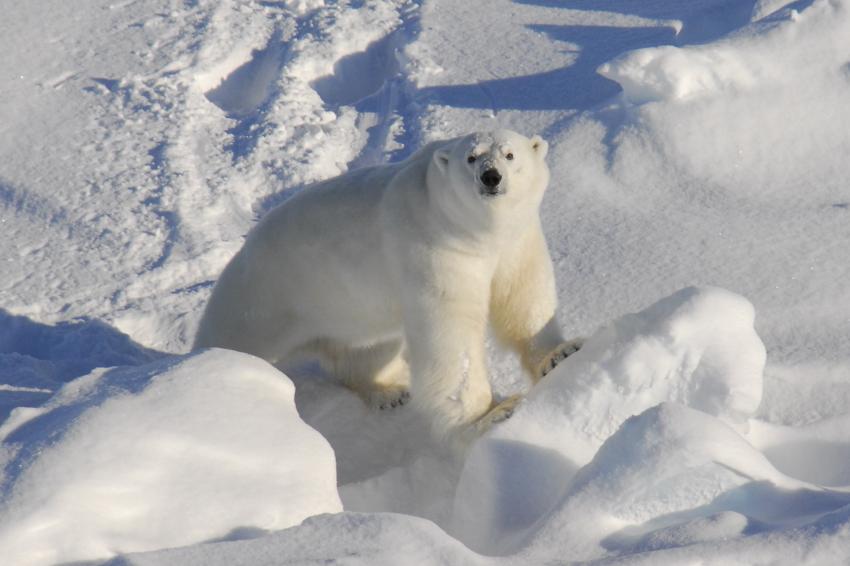
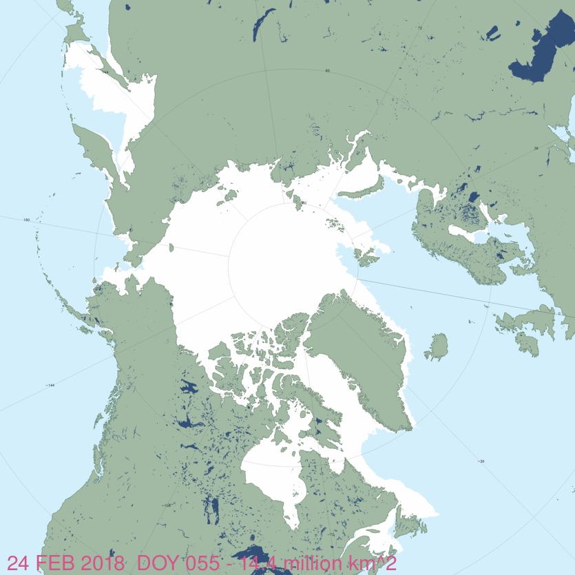
As this year draws to a close, it is worth noting that over the last 12 months — and contrary to predictions and headlines, including claims about “the warmest year ever” — polar bears have not been reported dying, starving, or eating each other in large numbers, or relentlessly attacking people. On top of that, summer sea ice coverage in the Arctic has stalled for the last 17 years, not melted out in a death spiral of rotten ice.
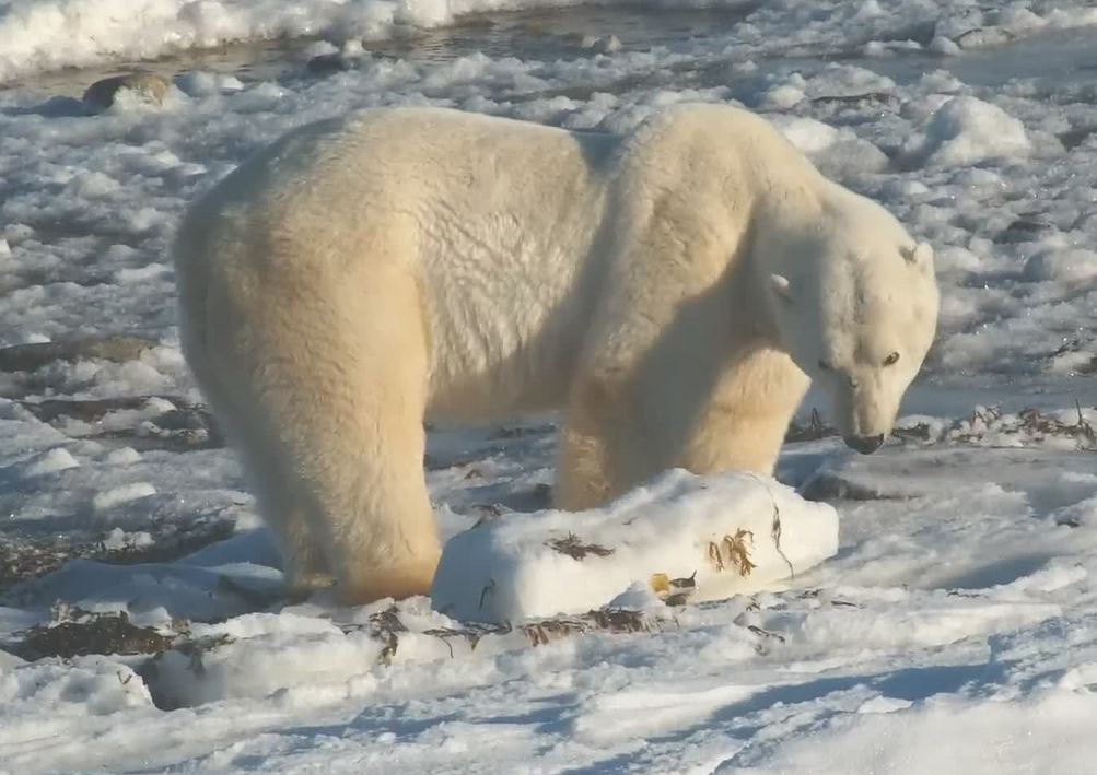
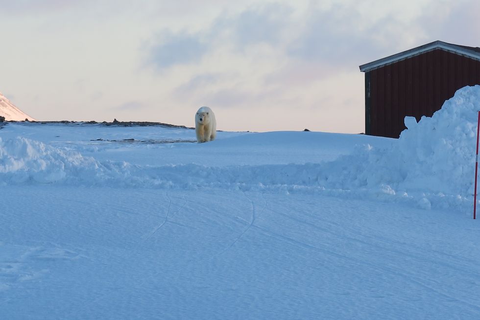
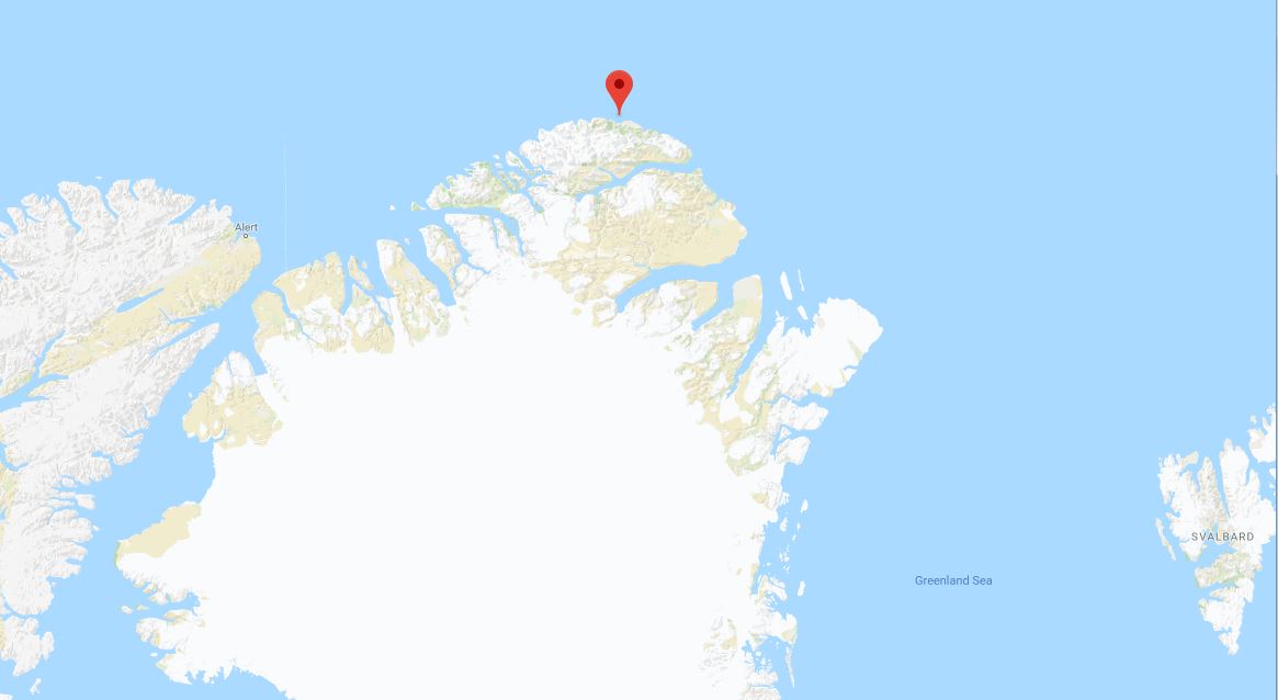
Except for the lying and obfuscation that most of us have come to expect, I’ve mostly been left to reiterate that polar bears are not “canaries in the coal mine” indicators of climate change and to point out that Arctic sea ice extent and polar bear survival are not inextricably tied. For example, in some specific areas of interest, like Western Hudson Bay, there has not been a consistent decline in sea ice over the last few decades and bears are not attacking people at increased rates because they are desperately hungry. In other areas, like the Svalbard area of the western Barents Sea, sea ice has declined dramatically in recent years yet polar bears have not been attacking people more than usual.
Contradictions and failed predictions abound.
All in all, a rather boring year for the anticipated implosion of polar bear health and survival, despite my constant tracking of publicly-available information. That said, I would like to take this opportunity to thank you all again for your continued support, and especially those who have donated hard-earned cash over the last few months: your support makes it possible for me to continue my work keeping polar bear science honest. Together, we have made a difference and I know it’s worth the fight. Because if we let evidence-based science die without challenge, we lose our ability to make sense of the world.
All the best for 2024 to you all.
Continue reading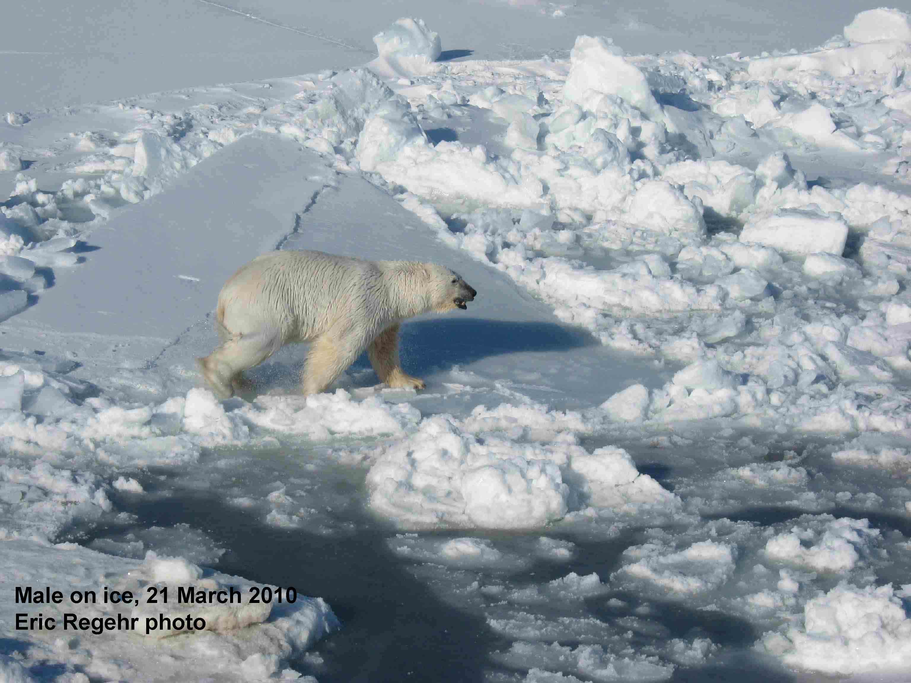


You must be logged in to post a comment.