
University of Alaska Fairbanks (UAF) is offering a new interactive sea ice map (which they call an atlas), that looks interesting and potentially useful, announced at Alaska Dispatch over the weekend (January 25, 2014: “New sea ice map offers a long-term look at climate change”).
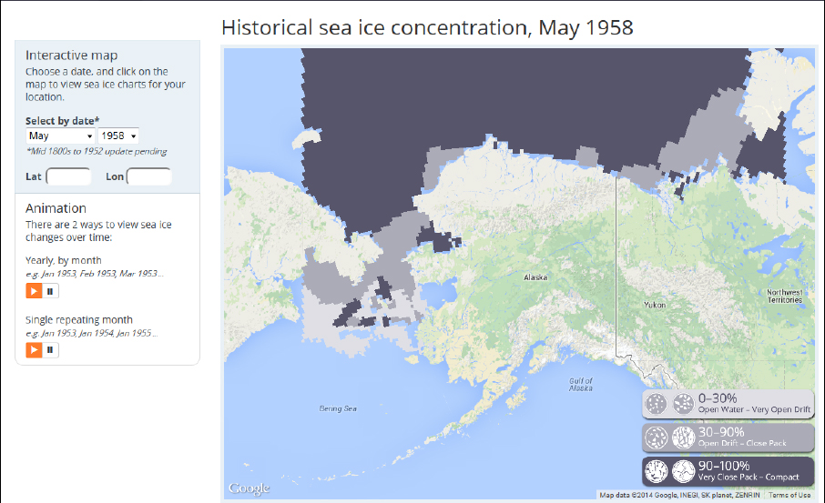
At the moment, the years and months available include January 1953 to December 2012. Oddly, 2013 data is not included. The sea ice atlas charts polar bear habitat for the Southern Beaufort and Chukchi Sea subpopulations (including the Bering Sea), as well as the western portion of the Northern Beaufort Sea subpopulation region.
Continue reading


You must be logged in to post a comment.