
The Canadian Ice Service has a cool NASA animated video showing the Beaufort Gyre in action – you can actually see the solid mass of ice crack and swirl west and north under the pressure of the massive corkscrew current – see original here (tips on getting yourself oriented in the video below the screencap) and view below, for Apri 4- May 3, 2016:
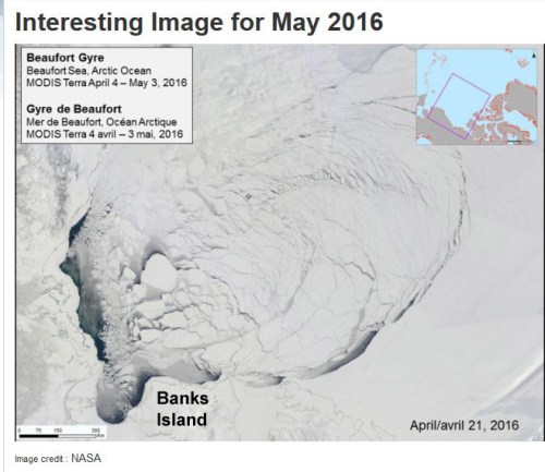
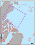
Note that the video is oriented with Banks Island on the bottom and the shore of Alaska along the left-hand side, as if the locator map provided was rotated as below:
The big ‘bite” of ice being torn out to the south of Banks Island is the Amundsen Gulf.
The caption for the NASA video says this (my bold):
“MODIS Terra imagery taken between April 4 and May 3, 2016 of the Beaufort Sea. The animation highlights the gradual ice breakup due to the Beaufort gyre.”
So, early breakup here is due to Beaufort Gyre action – not early seasonal melt.
Continue reading


You must be logged in to post a comment.