
Polar bear habitat in the Southern Beaufort for May 2015 was a contrast between the development of recurring polynyas (patches of open water) and tremendously thick sea ice. So it’s interesting to see where the polar bears tagged by USGS biologists chose to hang out.
The total number of bears being tracked in May – 23 – is down markedly from the 30 bears USGS biologists started with in April.
Most of the collared bears were concentrated in May along the shore lead (crack of open water) that normally develops between the shorefast ice and the pack ice offshore. That’s especially understandable this year, since most of that pack ice is 3-5 m thick (10-16 ft) – see the maps below.
The USGS track map for May 2015 is copied below (Fig.1).1
Figure 1. Original caption: “Movements of 23 satellite-tagged polar bears for the month of May, 2015. Polar bears were tagged in 2014 and 2015 on the spring-time sea ice of the southern Beaufort Sea. Seventeen of these bears have satellite collar transmitters and 6 of these bears have glue-on satellite transmitters. Polar bear satellite telemetry data are shown with MODIS imagery from 22 May, 2015.” Original image here. North latitude labels added. Click to enlarge.
Roaming bears
One bear (Fig. 1, upper left) is at the western edge of the Chukchi Sea subpopulation region or beyond, well into the East Siberian Sea.
Lost/failed tags
It’s likely that most of the seven “lost” transmitters are glued-on ear or shoulder tags that were placed on males and/or young bears, which just don’t seem to last very long. Last year (2014), by the end of June 2014, all 7 bears with tags deployed in April had either moved out of the area (unlikely) or their tags came off and stopped transmitting.
It looks like this year, most of those tags lasted less than a month.
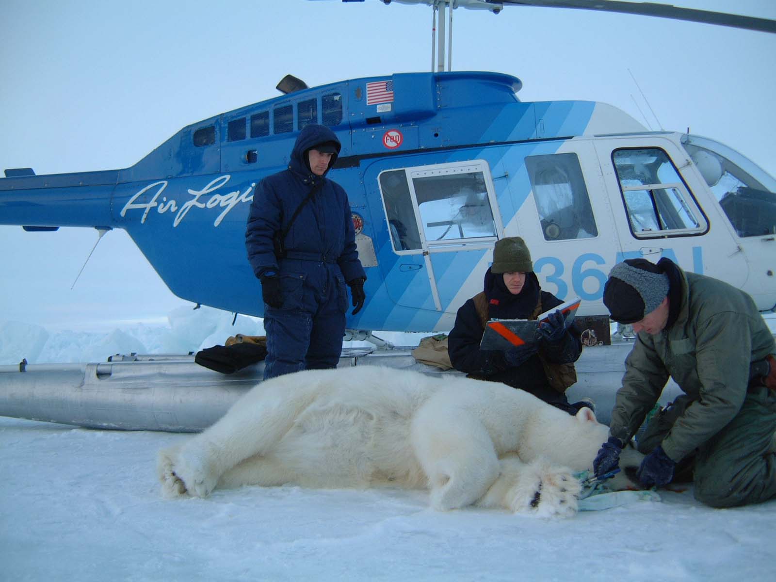
It seems like a lot of stress for the bears, who are chased down with helicopters and tranquilized, only to have seriously unfashionable jewelry installed somewhere that’s hard for them to reach. Is the limited amount of biological information obtained in a few short weeks worth the cost to biologists and the stress for the bears? Something to think about.
Polar bear locations vs. sea ice thickness
Note the development of the two polynyas at either end of the Beaufort (discussed here), with fast ice along the shore still present. Bears generally feed at the ice edge at this time of year, or along cracks that form in the ice.
Most of the bears collared by USGS between Barrow and Kaktovic in April are staying in the same general area – between Barrow and Kaktovic (Fig. 1).
But as the ice thickness map (Fig. 2) shows, most of the sea ice in the Southern Beaufort in May was very thick (and still is now, in early June). It would appear that good spring seal hunting habitat is rather limited in this region to a narrow strip along the Alaska coast.
However, we don’t know where the hundreds of other bears of this region are hanging out. They could be feeding on seals around the edges of the polynyas, where bears were commonly found in the late 1970s.
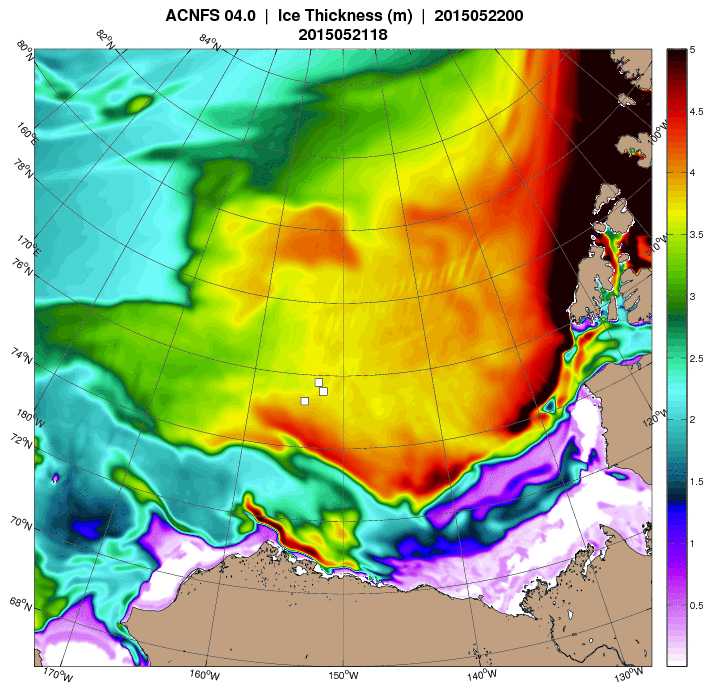
Figure 2. Sea ice thickness map for 22 May, 2015 (courtesy Navy Research Laboratory), the same day as Fig. 1 above. Multiyear pack ice offshore and compressed ice nearshore (green/yellow/red areas) would be poor seal hunting habitat for polar bears, given the 3-5 m (10-16 ft) thickness. Most of the region shown in Fig. 1 lies below 760N latitude on this map (which is a different projection). Click to enlarge.
Footnote 1. This is the May 2015 follow-up to my post on the July 2013 track map for female polar bears being followed by satellite in the Beaufort Sea by the US Geological Survey (USGS) – “Ten out of ten polar bears being tracked this summer in the Beaufort Sea are on the ice.” See that post for methods and other background on this topic, and some track maps from 2012 (also available at the USGS website here).


You must be logged in to post a comment.