Tag Archives: Obbard

Southern Hudson Bay polar bear region shows slight decline after decades of low sea ice

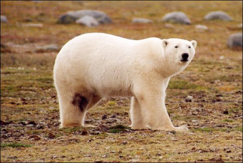
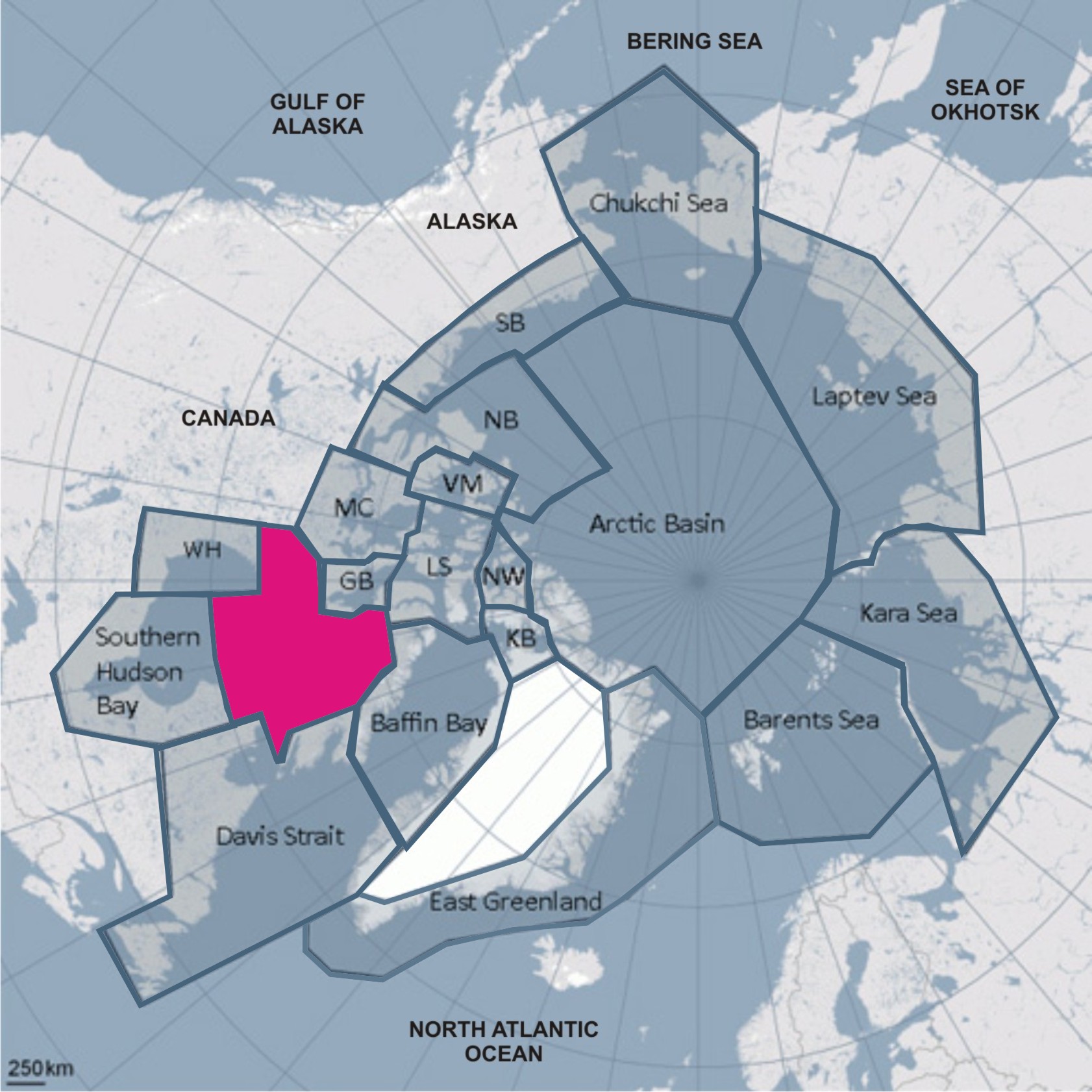
A newly-published paper by Martyn Obbard and colleagues in the journal Arctic Science claims a 17% decline in abundance of polar bears in the Southern Hudson Bay region after years of reduced sea ice and declining body condition (Obbard et al. 2018). The decline in numbers was not statistically significant but an additional statistical analysis (“Monte Carlo simulation”) not applied to any other estimate in recent years suggested the decline could be real, so a real decline is what was reported to the press.

James Bay polar bear_ministry of Ontario_Walton photo

Only one Canadian Press story has so far been circulated amongst outlets in the media (published hours after the paper appeared online, not at the same time), suggesting there was no press release issued for this study. Odd, that — especially if the decline is as real and significant as the authors suggest.

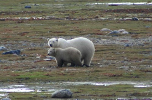
While no evidence was provided for a correlation of this decline in numbers to recent (2012-2016) sea ice decline, previous evidence from the region (Obbard et al. 2016) showed a decline in body condition was correlated only with much later than usual freeze-up, a situation that did not occur from 2012 to 2015 (freeze-up was late in the fall of 2016 but occurred months after the Obbard et al. (2018) survey was completed).

Moreover, the paper reports that a decline in survival of yearling cubs (from 12% of the population in 2011 to 5% in 2016) was not associated with especially poor sea ice conditions in spring. We are likely to see a follow-up paper next year reporting the body condition and sea ice data from this study (as for the previous survey: Obbard et al. 2015, 2016), but there is no suggestion in this paper that body condition declined further from 2011/2012 levels or that sea ice conditions deteriorated markedly enough after 2012 to precipitate a population decline.

UPDATE 11 June 2018: See below, more recent versions of population and status assessment maps has been issued by Environment Canada that conclude Southern Hudson Bay is “likely declined.”

Continue reading

Archive of 2007 USGS reports supporting 2008 ESA listing for the polar bear

The administrative reports used in 2007 to support the decision to list polar bears as ‘threatened’ under the US Endangered Species Act (ESA) in 2008 disappeared from the US Geological Survey website several years ago. I have archived them here in pdf format to make them easy to find for anyone wishing to access the accuracy of the models, data, and assumptions made in 2007.

Amstrup w triplet_Prudhoe Bay 2005_USGS_sm

Steven Amstrup in 2005, then lead USGS polar bear biologist, with triplet cubs, Prudhoe Bay, AK.

This is a housekeeping post meant for future reference. I’ve included citations for the relevant sea ice projection papers used in the models presented in the 2007 documents and a few other related reports from the same time period. Continue reading

Condition of S Hudson Bay polar bears varies with freeze-up only says new study

Despite the fact that the polar bears of Southern Hudson Bay (SHB) live further south year round than any others, a recent study found their average body weight has declined relatively little since the 1980s. There has been no decline in the size of the population over that time either. Perhaps that’s why there was neither a press release nor a massive media blitz when this paper came out earlier this month.

James Bay female and cub_Ontaro Govt

Remarkably – despite what we are told about how critical breakup dates are to polar bear health and survival in Hudson Bay – this study found that for SHB bears, the small decline in body condition index correlated only with freeze-up dates, not breakup dates or length of the ice-free season. They also found that regional breakup and freeze-up dates relevant to polar bears in this area was the day when ice cover reached 5% (not 50%).

In other words, SHB polar bears left the ice (or returned to it) when the average ice  cover near the coast was about 5%. This finding is yet more evidence that the meteorological definition of “breakup” (date of 50% ice cover) used by many researchers (see discussion here) is not appropriate for describing the seasonal movements of polar bears on and off shore.

Continue reading

Hudson Bay, Davis Strait and Foxe Basin sea ice highest since 1992

We are seeing one of the extremes in Hudson Bay sea ice variability this year, not only in extent but in distribution of ice. Ice coverage on Hudson Bay this year at 28 July was twice what it was in 2009, the last “late” ice breakup year for which detailed ice maps are available (409 vs. 204 thousand km2), according to NSIDC MASIE ice maps. Canadian Ice Service data show 2015 coverage for the week of 30 July was the highest since 1992.

Churchill_Polar_Bear_2004-11-15 Wikipedia

The odd pattern of ice distribution presents a conundrum. Have a look at the maps and graphs below.

Continue reading

IUCN Polar Bear Specialist Group says its global population estimate was “a qualified guess”

Last week (May 22), I received an unsolicited email from Dr. Dag Vongraven, the current chairman of the IUCN Polar Bear Specialist Group (PBSG).

pbsg logo

The email from Vongraven began this way:

Dr. Crockford

Below you’ll find a footnote that will accompany a total polar bear population size range in the circumpolar polar bear action plan that we are currently drafting together with the Parties to the 1973 Agreement. This might keep you blogging for a day or two.” [my bold]

It appears the PBSG have come to the realization that public outrage (or just confusion) is brewing over their global population estimates and some damage control is perhaps called for. Their solution — bury a statement of clarification within their next official missive (which I have commented upon here).

Instead of issuing a press release to clarify matters to the public immediately, Vongraven decided he would let me take care of informing the public that this global estimate may not be what it seems.

OK, I’ll oblige (I am traveling in Russia on business and finding it very hard to do even short posts – more on that later). The footnote Vongraven sent is below, with some comments from me. You can decide for yourself if the PBSG have been straight-forward about the nature of their global population estimates and transparent about the purpose for issuing it.
Continue reading

Foxe Basin polar bear status – another stable population

Foxe Basin_PBSG

Figure 1. Polar bear subpopulation regions defined by the Polar Bear Specialist Group, Foxe Basin marked.

Foxe Basin is a large subpopulation region (Fig. 1), with a total area of 1.18 million square km (Vongraven and Peacock 2011). It comprises Northern Hudson Bay and western Hudson Strait, and the area between western Baffin Island and eastern Melville Peninsula, with a large island (Southampton Island) in the middle (Figs. 2 and 3).

Figure 1. Foxe Basin polar bears subpopulation region, courtesy IUCN PBSG

Figure 1. Foxe Basin polar bears subpopulation region, courtesy IUCN PBSG

Continue reading