Tag Archives: freeze-up

Polar bear habitat update: regional differences, melting vs. freezing

The freeze is on: from an annual low of ~5.1 m sq km at 15 September 2014, the sea ice that provides a hunting platform for polar bears is rapidly reforming.

Note that polar bear habitat world-wide is pretty well defined by the extent of sea ice in spring, with three notable exceptions. There are no polar bears (or fossil evidence of polar bears), in the Sea of Okhotsk, the Gulf of St. Lawrence, or the Baltic Sea.

Bears in some areas spend time on land in late summer/early fall but the amount of time varies widely.

Polar bear distribution and ice extent_PolarBearScience
Have a look at the maps below: the difference in regional coverage between the sea ice at 4 August and 16 October (73 days apart, both covering 7.3 mkm2) might surprise you.
Continue reading

Churchill problem bears and early breakup dates in WHB: The 1983 & 2004 anomalies

In this part of my critique of Stirling and Parkinson (2006), regarding breakup dates in Western Hudson Bay (see Part I here), I will show that these authors also left out critical data.

Figure 1. A bear is transported to Churchill’s polar bear holding facility, from a 2011 Huffington Post article “Polar Bear Prison.”

Figure 1. A bear is transported to Churchill’s polar bear holding facility, from a 2011 Huffington Post article “Polar Bear Prison.”

Their correlation between number of problem bears in Churchill and breakup dates for WHB worked because some very inconvenient data were simply left out: problem bear data for 1983 and 2004.

Inclusion of that information would have shown 1983 and 2004 were two of the worst years for polar bear problems in recent history despite being late breakup years (1983 also had the last human fatality from a polar bear attack). They could have explained why they did not use the data but they did not — they simply left it out.

Amazingly, this work is being touted as “evidence” that global warming is harming Western Hudson Bay polar bears.
Continue reading

Up to 20% of collared polar bears located on ice that officially does not exist, says the PBSG

Here are two more priceless quotes from the minutes of the last meeting of the IUCN Polar Bear Specialist Group (PBSG) – on issues with sea ice percentages used to define “ice-free” and the problem of bears with collars showing up on sea ice that, according to ice data, does not exist. These quotes are in addition to the ones I posted earlier this week (here and here).

Polar bear with collar and tag_USGS_labeled

See the original document for the context here.
Continue reading

Polar bear researchers still withholding Hudson Bay data

The latest polar bear propaganda emanating from The Guardian is unscientific nonsense fed to them by activist Canadian polar bear researchers: Polar bear numbers in Hudson Bay of Canada on verge of collapse.

This episode of Goldenberg’s polar bear grandstanding includes a photo caption with a totally unsubstantiated claim that some folks might call a lie:

Melting ice is cutting polar bears off from their food source in Hudson Bay, and death rates have soared.

“Death rates have soared”? Where are all the bodies? Show us the starving bears!

In fact, the ice of Hudson Bay melts every summer and always has done. When it does, polar bears go ashore and live off the many inches of stored blubber they put on during their spring feasting on fat baby seals. The last three years, the open-water season has been only about two weeks longer than it was in the 1980s. There has been no steady increase but lots of variability.

Below I dismantle the rest of this transparently political posturing ahead of the international polar bear forum next week.
Continue reading

Hudson Bay freeze-up has not been a day later each year since 1981

[Update Nov. 23, 2013: I’ve added a few comments, noted, in the text]

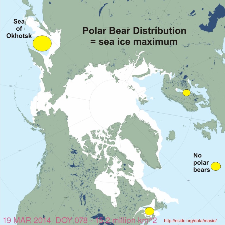
This is a follow-up to an earlier post, Polar bear problems in N Hudson Bay not due to late freeze-up, to counter some misinformation that’s being circulated about the history of Hudson Bay freeze-up dates.

Polar bear biologists working in Western Hudson Bay published new definitions of breakup and freeze-up earlier this year. The new method better reflects how polar bears interact with seasonal changes in sea ice on the bay.

Formerly, 50% ice coverage levels were used to assign the date when major ice change phenomena were reached each year (breakup in summer, freeze-up in fall (e.g. Gagnon and Gough 2005). The new method (Cherry et al. 2013, see discussion here) defines breakup at 30% ice coverage and freeze-up at 10%.

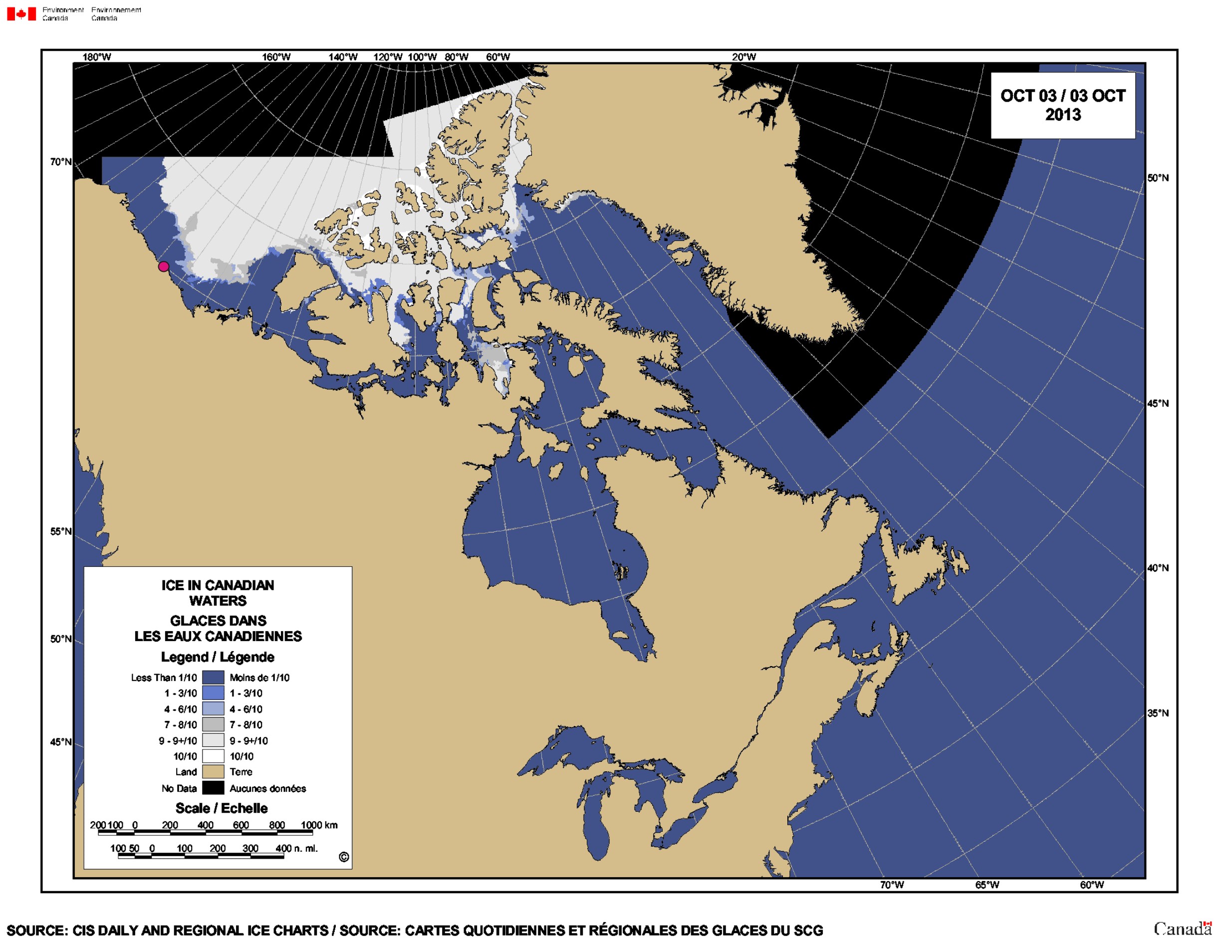
Cherry and colleagues had a fairly complicated method of defining 30% coverage for breakup in Western Hudson Bay. However, freeze-up in the fall is much simpler because ice always forms first along the western shore, starting in the north.

This means that the weekly graphs of ice development provided by the Canadian Ice Service for Hudson Bay, which are expressed as a percentage (just like the Cherry et al. study), can be used to compare freeze-up dates historically.

These graphs refute the absurd claim that freeze-up on Hudson Bay has been “one day later each year” over the last 30 years – an assertion repeated just the other day at PBI. Let’s take a closer look, shall we?
Continue reading

Polar bear problems in N Hudson Bay not due to late freeze-up

The myth that northern Hudson Bay communities are having problems with polar bears this year because freeze-up is later than usual just won’t go away.

I discussed the well publicized craziness in Churchill last week (here and here), but there’s more. Polar bears are already leaving the shore of Northern Hudson Bay as the ice rapidly forms but I saw a story yesterday (dated late last week) that quoted a local official in Repulse Bay blaming their polar bear problems on late freeze-up.

I’ve written before about the peer-reviewed paper by polar bear researchers Seth Cherry and colleagues published earlier this year on breakup and freeze-up dates between 1991 and 2009. But perhaps the freeze-up data needs more emphasis. I’ve copied that graph again below, with notes, and added some ice maps. See for yourself.

Bottom line: A “late freeze-up” for northwestern Hudson Bay occurs when ice formation is delayed until early December or beyond. Freeze-up was nowhere near “late” this year, nor was the ice “slow to freeze.” It wasn’t last year either.
Continue reading

Hudson Bay freeze-up average this year – not late

Freeze-up in Western Hudson Bay is finally underway. It’s no later this year than average, similar to last year.

This rather contradicts the hysterical hue and cry from the tag-team of Polar Bears International (PBI) spokesperson Steven Amstrup and Guardian reporter Suzanne Goldenberg last week during PBI’s “Polar Bear Week” propaganda blitz (see previous posts here, here, and here), 

So much for the trend towards later freeze-up dates that PBI says is endangering polar bears in Western Hudson Bay.

On-the-ground observers confirm polar bears are preparing to move out and sea ice maps show the ice is forming very rapidly — see maps and quotes below.

Continue reading

Churchill polar bear attack shamelessly used to advance global warming agenda

I guess Suzanne Goldenberg, writing for The Guardian, just couldn’t help herself with this latest story (November 4):Polar bear attacks: scientists warn of fresh dangers in warming Arctic. Two people injured in latest attack as hungry bears deprived of access to sea ice increasingly look for food on land.

Reporting on the attack is one thing — several papers covered this over the weekend (see Featured Quote #46, posted yesterday, for links to two of them). However, Goldenberg shamelessly makes this about global warming, aided and abetted by Polar Bears International (PBI) representative Steven Amstrup, a claim that doesn’t hold up to even minor scrutiny.

Continue reading

Kaktovik polar bears could be back on the ice this weekend

This is a quick follow up on my last post (here) on Kaktovik polar bears of the Southern Beaufort Sea subpopulation.

Kaktovik is the bright pink dot on the ice map below (October 3, 2013: click to enlarge), from the Canadian Ice Service – if the ice doesn’t get to the polar bears waiting on shore this weekend, it will be within swimming distance.

Note that this map doesn’t show the shorefast ice that is already forming along the beaches, bridging the gap between land and the offshore ice.

Shorefast ice provides the fall’s first ice platform for polar bears to hunt seals. It doesn’t need to be extensive for the bears to get out there — researchers working in Western Hudson Bay found that an ice concentration of only 10% marked the point when polar bears left the shore.

Kaktovik on CIS chart Oct 3 2013

The sea ice is back and polar bears are heading out

It appears from the ice maps that most of the polar bears throughout the world that have chosen to remain on land during the late summer and fall (about July/August through October/November) can now return to the ice.

I can tell most of this tale with maps, so I will.

Continue reading