Monthly Archives: December 2014

Public misled about W Hudson Bay bears since November 2013

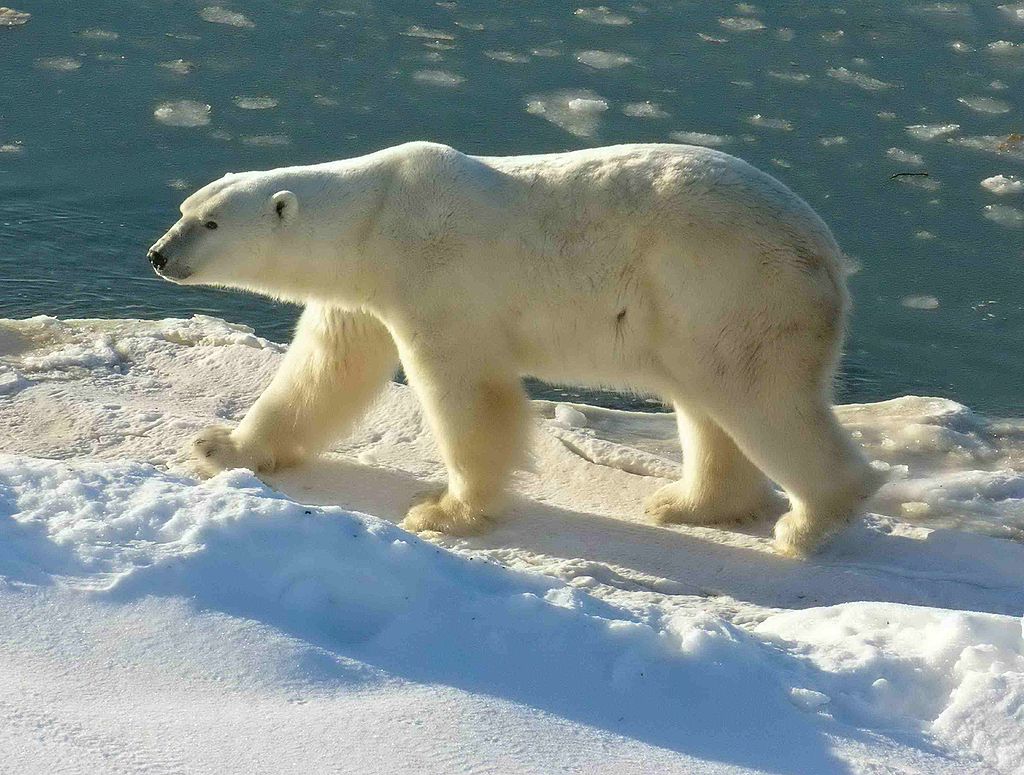
Leading polar bear biologists knew by November 2013 that mark-recapture studies showed the Western Hudson Bay subpopulation had not changed appreciably since 2004 but none said so. This includes Steven Amstrup and Ian Stirling at Polar Bears International, Andrew Derocher (University of Alberta), and Nick Lunn (Canadian Wildlife Service), all of whom are (or have been) extensively involved in Western Hudson Bay polar bear research and have made recent statements to the media on this topic.

Polar_Bear_2004-11-15_Wapusk Nat Park_Wikipedia

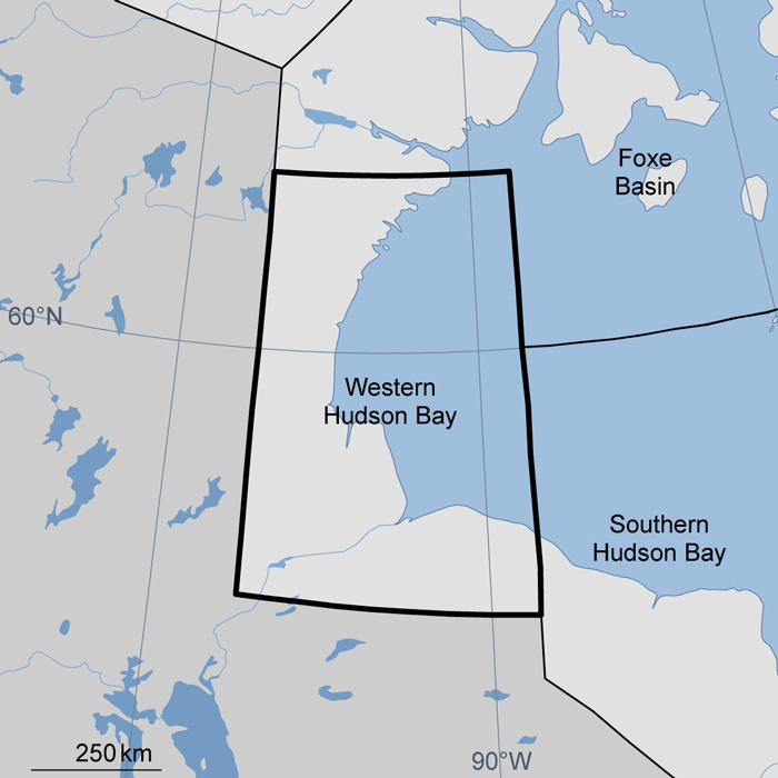
More details have emerged about the status of Western Hudson Bay (WHB) polar bears (reported a few days ago here), reported this morning in NunatsiaqOnline, excerpts below.

The story reveals that there are two Canadian Wildlife Service (Environment Canada) reports containing population estimates of Western Hudson Bay polar bears – one produced in 2011 and another in November 2013 (reversing the 2011 conclusion) – that have not been made public.

[In contrast, Nunavut Government reports on their 2011 population estimate, based on aerial surveys, were made public in both draft and final report formats (and have since been peer-reviewed and published)]

The conclusion of the 2013 report, quoted in this mornings article, suggests that some of our most vocal polar bear specialists have been misleading the public about the status of the Western Hudson Bay population for the last year.
Continue reading

Tracking polar bears in the Beaufort Sea – November 2014 map

Here is the November 2014 follow-up to my post on the July 2013 track map for female polar bears being followed by satellite in the Beaufort Sea by the US Geological Survey (USGS) – “Ten out of ten polar bears being tracked this summer in the Beaufort Sea are on the ice.”

See that post for methods and other background on this topic, and some track maps from 2012 (also available at the USGS website here). The USGS track map for November 2014 is copied below.

 Figure 1. Original caption: "Movements of 12 satellite-tagged polar bears for the month of November, 2014. Polar bears were tagged in 2014 on the spring-time sea ice of the southern Beaufort Sea. All twelve of these bears have satellite collar transmitters. Polar bear satellite telemetry data are shown with AMSR2 remotely-sensed ice coverage for 30 November, 2014." Click to enlarge, original here.


Original caption: “Movements of 12 satellite-tagged polar bears for the month of November, 2014. Polar bears were tagged in 2014 on the spring-time sea ice of the southern Beaufort Sea. All twelve of these bears have satellite collar transmitters. Polar bear satellite telemetry data are shown with AMSR2 remotely-sensed ice coverage for 30 November, 2014.” Click to enlarge, original here.

All twelve bears (all females) are finally visible on this map, confirming my suspicion that two were so close together they overlapped. Three out of the twelve “Southern Beaufort” bears were in the Chukchi Sea at the end of November (west of Point Lay, see discussion here). If you missed it, my October 2014 post on the progress of these bears has some maps from previous years that are worth reviewing.

Western Hudson Bay polar bear population is stable: press release

Slowly but surely, word is leaking out: the Western Hudson Bay polar bear population is stable at ~1000 bears, confirming the good news contained in maps posted on the Environment Canada website a few months ago (discussed by me here and here). Environment Canada has apparently been giving presentations in local Western Hudson Bay communities relaying their decision.

Courtesy IUCN PBSG

Courtesy IUCN PBSG

Yesterday, a press release was issued by one of the official Inuit organizations in Nunavut announcing the new official status of the Western Hudson Bay polar bear population.
Continue reading

Hudson Bay sea ice above average for this date – more good news for polar bears

It’s only the 4th of December and Hudson Bay ice formation is way up over late 2000s coverage for this date — and higher than 2012, which had the lowest overall September ice extent for the Arctic since 1978.

Hudson Bay freeze-up same week_Dec 4 1971_2014 w average

This means boom times for Western and Southern Hudson Bay polar bears as sea ice formation is several days to a week ahead of last year. And as I mentioned in my last post, average November ice coverage across the Arctic this year was higher than 2003. Don’t forget that 2/3’s of the world’s polar bears live in Canada (see recent status update here; map below).

Figure 4. The Davis Strait (DS) subpopulation region runs from just below the Arctic Circle at the north end to at least 470N in the south. About half of DS lays at the same latitude as Western Hudson Bay (WH). Courtesy Environment Canada.

Polar bear population status in Canada. Courtesy Environment Canada.

More maps and charts below.
Continue reading

Polar bear habitat update – November 2014 average sea ice levels higher than 2003

Average polar bear habitat for November 2014 was well within two standard deviations1 and higher than 2003, according to the November report from the National Snow and Ice Data Center (line and labels added, below).

Arctic ice Nov aver_NSIDC_sm_PolarBearScience

Notice that the lowest average November level occurred in 2006not 2007 (after the second lowest September extent since 1978) and not 2012 (after the lowest September extent since 1978). Take note that the scale on the graph above does not go to zero but to a whopping ~9.5 million square km!

Quotes from the NSIDC monthy report and sea ice maps for November 2014 and 2 December 2014 below.

UPDATE 3 December 2014: CIS has issued a new ice map corrected for ice level on Hudson Bay – new map below.
Continue reading