Tag Archives: sea ice

Hudson Bay breakup progressing slowly, still lots of polar bear habitat

Not much change in sea ice coverage since last week – most of Hudson Bay is still covered with concentrated ice, which is good news for Western and Southern Hudson Bay polar bears. They are still free to roam and hunt over most of the ice-covered bay.

Hudson Bay breakup 8 June 2015 vs 1 June_PolarBearScience

There may be slightly less ice than average for this time of year (Fig. 1, below) but coverage is still >70% with concentrated ice and does not appear to be melting quickly (see charts above and Fig. 2, below).

The dates for three previous earliest breakups according to Lunn and colleagues (Fig. 3) have come and gone, as all were in the first week of June (more on that in an upcoming post) – no records broken. More graphs and maps below, see previous posts here and here.
Continue reading

My new Arctic Fallacy paper- Sea ice stability and the polar bear

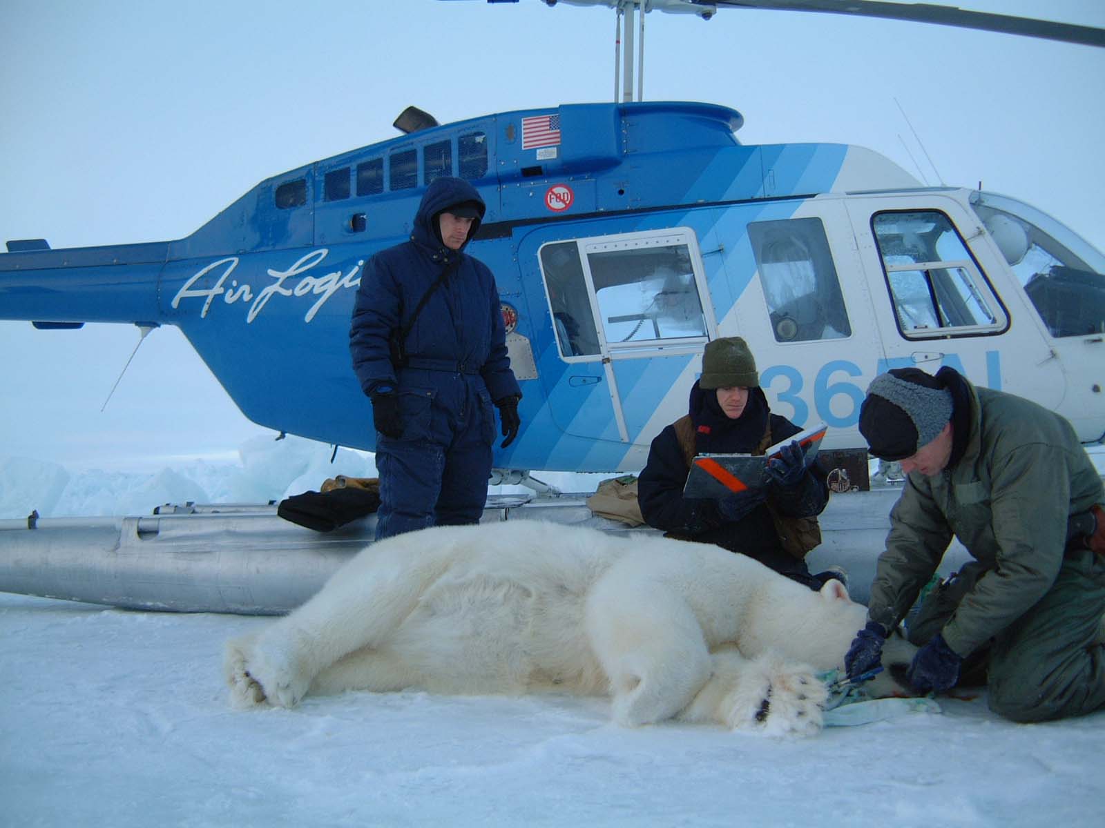
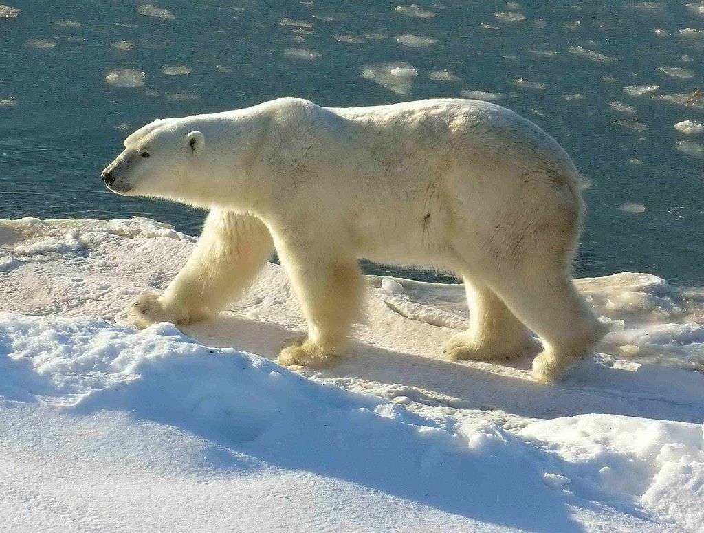
I have a new paper out that explains a fundamental problem with polar bear conservation.

Chukchi June 15 2014_USGS_Brian Battaile_after swim_sm

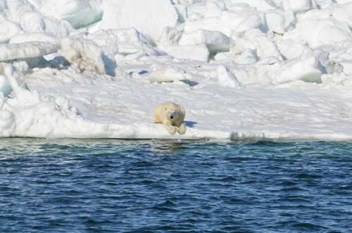
I’m convinced that a flawed and out-dated ecological concept — that sea ice, under natural conditions, provides a stable, predictable habitat — is what has allowed the present doom and gloom attitude of most polar bear specialists to develop.

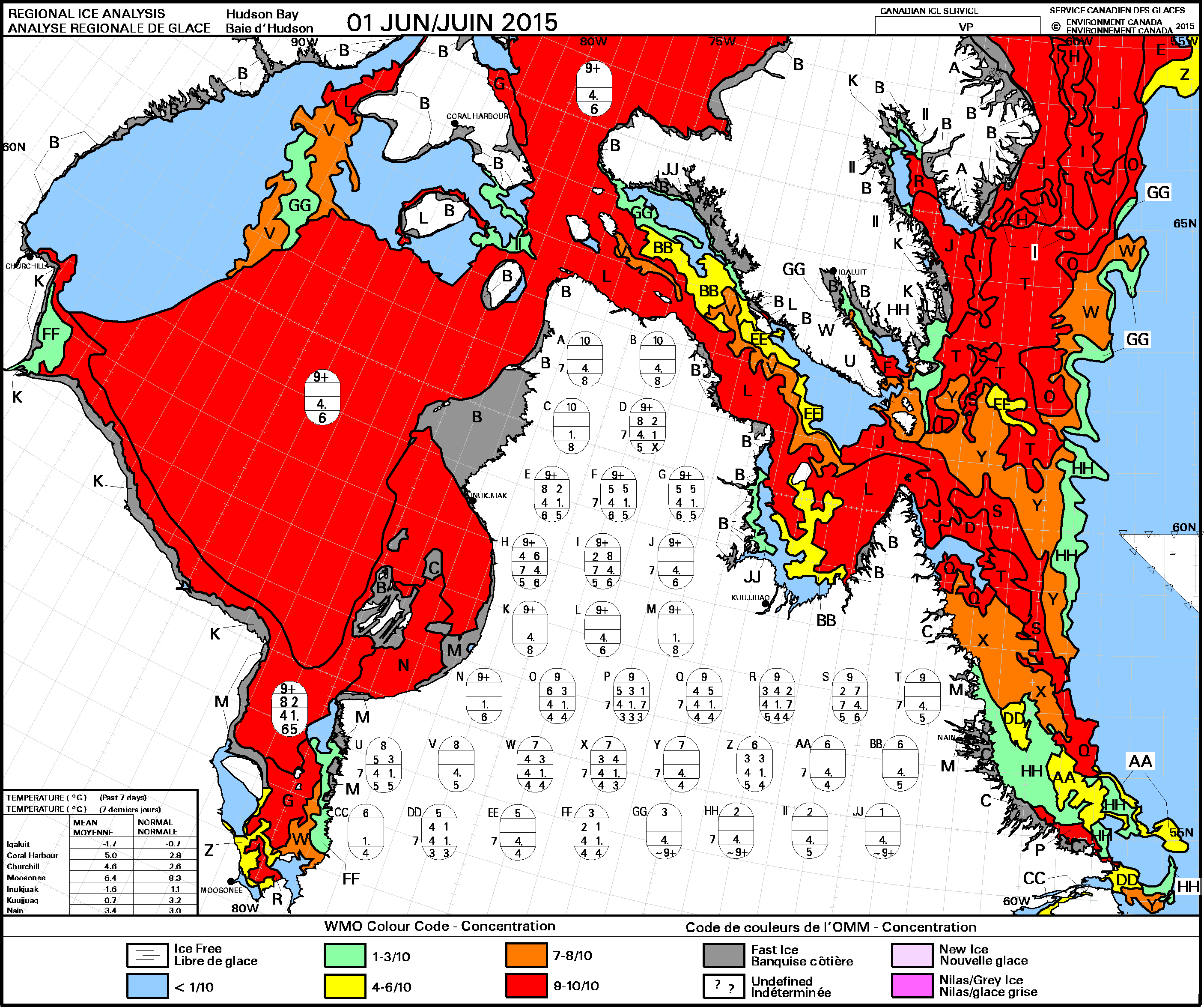
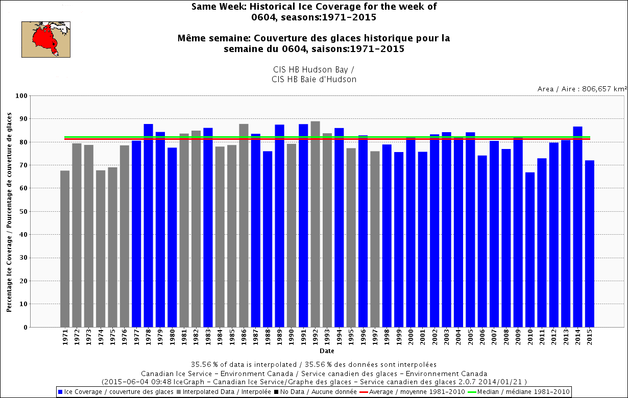
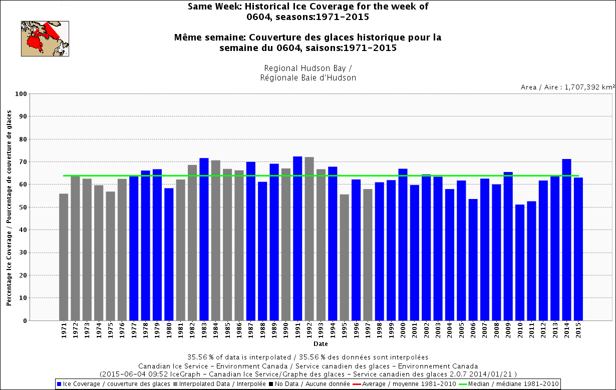
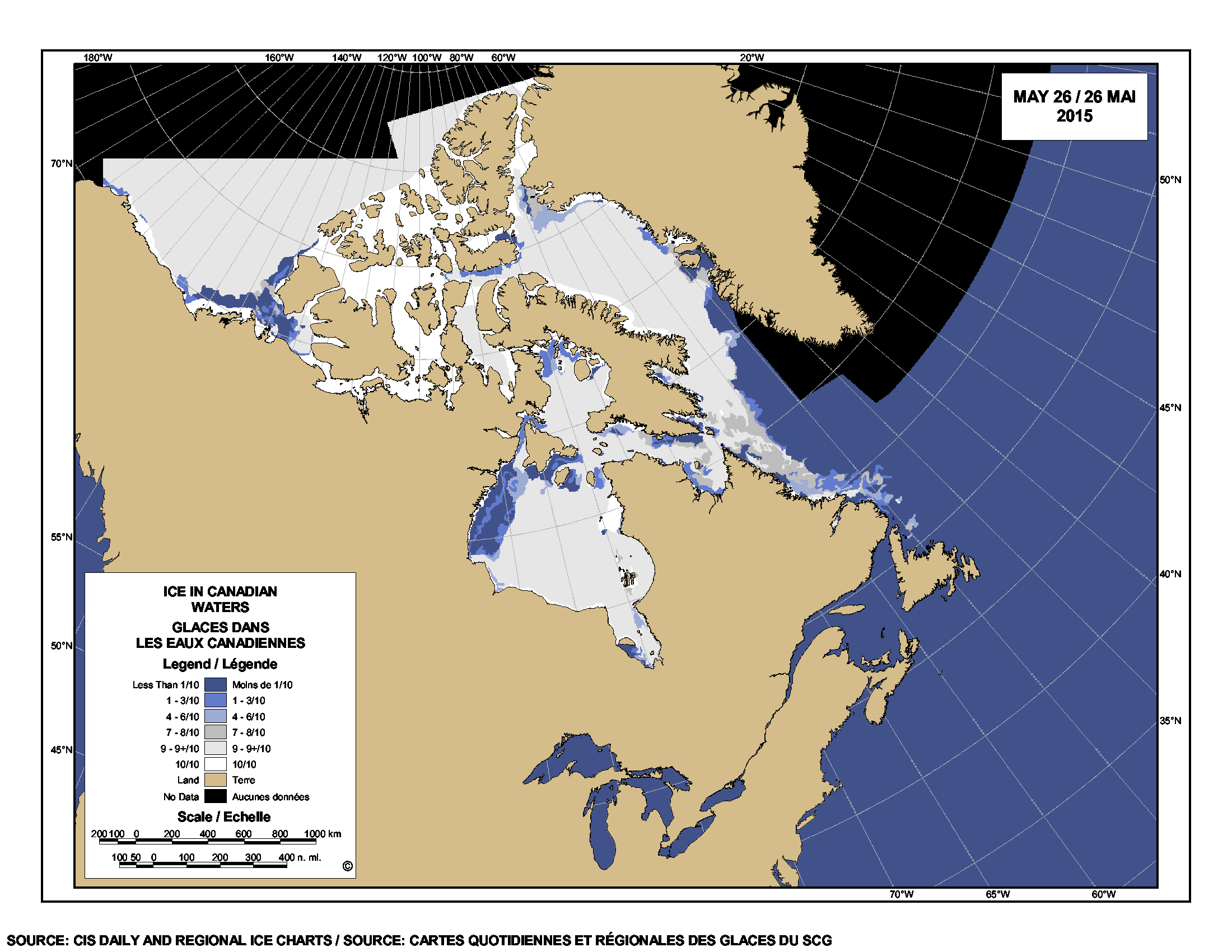
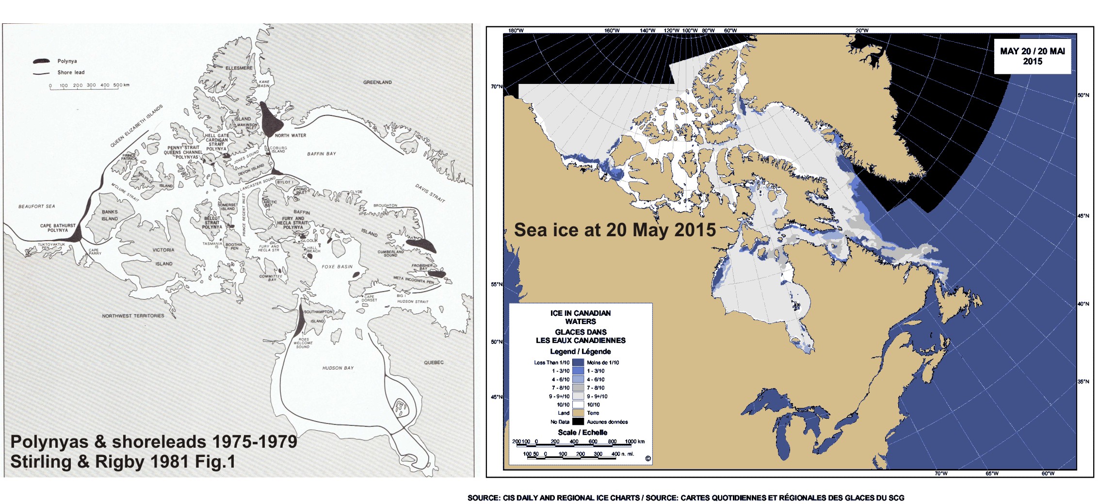
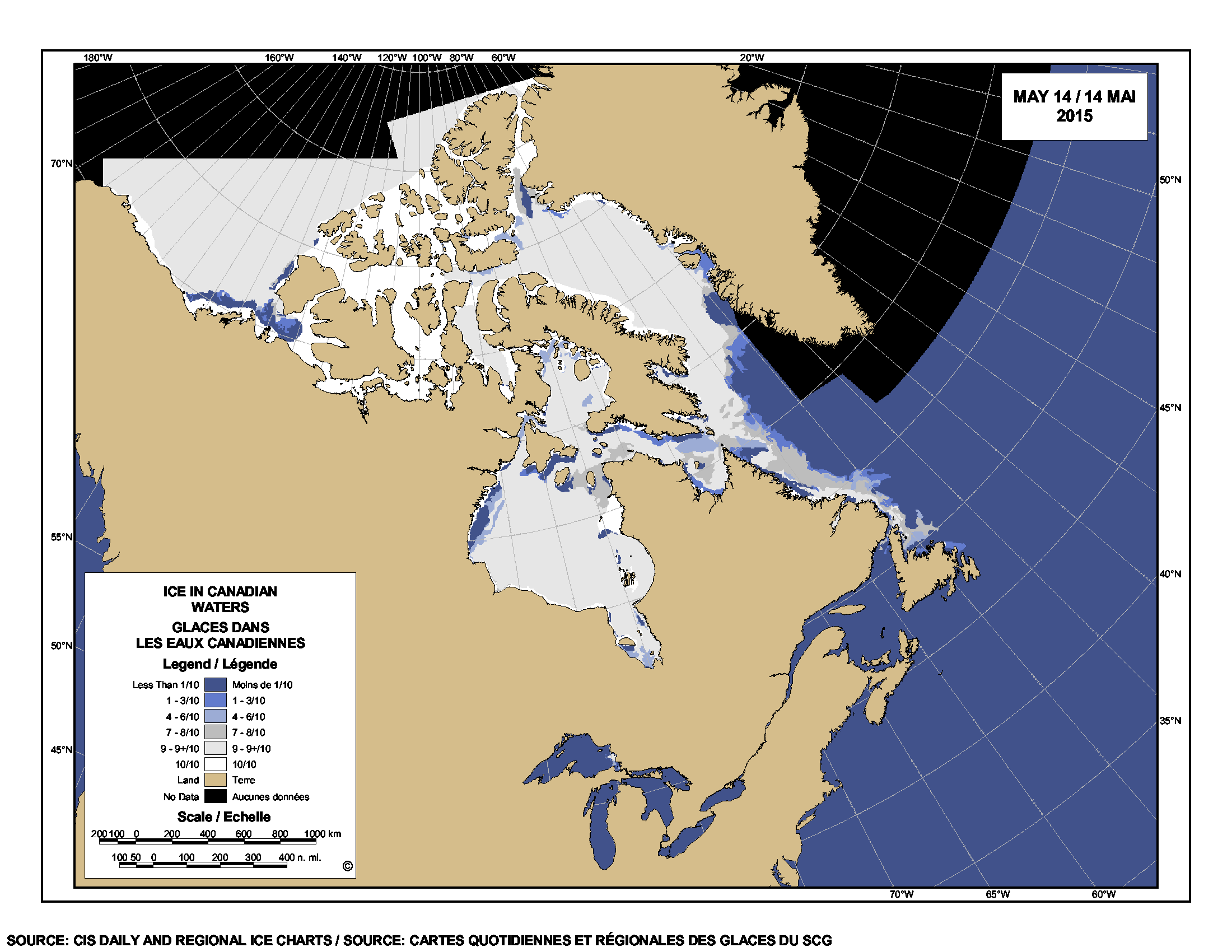
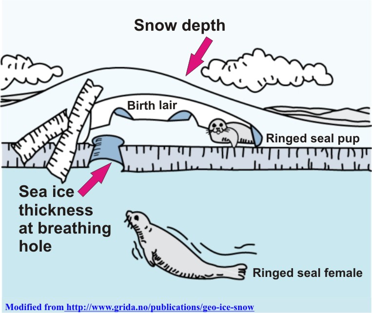
Sea ice changes, of course, from season to season. However, the concept that sea ice is a stable habitat assumes that these seasonal changes are predictable and virtually the same from one year to the next – at least, similar enough that the differences are not responsible for causing marked declines in population size.

The assumption is that under natural, stable conditions populations of Arctic animals will either stay the same over time or increase. Biologists were taught at university that sea ice should be a stable habitat and as a result, they’ve glossed over evidence they collected to the contrary. [see recent posts here and here, for example]

Negative effects on populations of short-term natural variations in spring sea ice or spring snow cover on sea ice have been entirely ignored in modeled predictions of future conditions. The focus has been on summer ice extent.

I have summarized this evidence in a fully referenced, peer-reviewed essay that explores how the acceptance of this fallacy (“sea ice is a stable habitat”) has so skewed the conservation biology of polar bears that to outsiders it may look like a scientific integrity issue.

The summary and the essay are below (with embedded links and references). The Global Warming Policy Foundation (GWPF) has published the essay in their “Briefing Paper” series (#16, The Arctic Fallacy: Sea Ice Stability and the Polar Bear), which includes a must-read foreword by Dr. Matthew Cronin, Professor of Animal Genetics at the University of Alaska Fairbanks. Press release here, pdf here.

I think you’ll find it timely and thought-provoking.

Continue reading

Hudson Bay breakup date for 2015 will really depend on which definition you use

Is breakup imminent for Hudson Bay sea ice? Probably not, but this year more than ever, it will depend on how you define it. Hudson Bay concentratation_2015 June 1_CIS Despite a large patch of open water in western Hudson Bay (CIS chart above, for 1 June), there is still more than 70% sea ice coverage over the entire bay as of this week, when you use the standard breakup definition of 50% ice coverage (Fig. 1).  Ice remaining over the bay is mostly 90% or greater, as the chart above shows – which means there is still a lot of polar bear hunting habitat remaining.

Figure 1.

Figure 1. Sea ice coverage over Hudson Bay, as a percentage, for the week of 4 June, 1971-2015. Click to enlarge.

The interconnected region of Hudson Bay, Hudson Strait, and southern Davis Strait (Fig. 2), what the Canadian Ice Service calls “Regional Hudson Bay,” is only slightly below average for the week of 4 June.

Regional Hudson Bay, week of 4 June.

Figure 2. Regional Hudson Bay, week of 4 June. Click to enlarge.

Since ice concentration is factored into breakup date calculation, a record-early breakup is simply not possible, since the previous record date (2 June, for 1990) has already passed. It might be an earlier than average breakup year but not very early, based on the 50% coverage definition (Fig. 3, below). This year, because of the unusual pattern of breakup of Hudson Bay ice, it will be critical for polar bears which definition of breakup is used – the old, 50% method (adopted because it’s what sea ice professionals used) or the newest one, which was determined to be most relevant to WHB polar bears (Cherry et al. 2013).

UPDATE 6 June 2015: I’ve added the forecast for ice conditions over the summer for North America (which for these folks includes June because it’s aimed at temperate NA, polar bear folks call June the end of spring), provided by the Canadian Ice Service: “Seasonal outlook for North American Arctic Waters issued by the North American Ice Service on 2 June 2015” [points of potential interest marked] The sea ice forecast (Table 1) for southwestern Hudson Bay (where most western and southern Hudson Bay polar bears come ashore) is for complete ice melt by 1 Aug, eight days later than the earliest date over the period 1968-2013. Time will tell if that’s what happens.
Continue reading

Tracking polar bears in the Southern Beaufort May 2015 – thick ice and polynyas

Polar bear habitat in the Southern Beaufort for May 2015 was a contrast between the development of recurring polynyas (patches of open water) and tremendously thick sea ice. So it’s interesting to see where the polar bears tagged by USGS biologists chose to hang out.

Polar_Bear_Biologist_USFWS_working_with_a_Bear_Oct 24 2001 Amstrup photo

The total number of bears being tracked in May – 23 – is down markedly from the 30 bears USGS biologists started with in April.

Most of the collared bears were concentrated in May along the shore lead (crack of open water) that normally develops between the shorefast ice and the pack ice offshore. That’s especially understandable this year, since most of that pack ice is 3-5 m thick (10-16 ft) – see the maps below.
Continue reading

Hudson Bay sea ice coverage is atypical this year but what does that mean for polar bears?

Churchill_Polar_Bear_2004-11-15 Wikipedia

There is a rather large patch of open water in the northwest sector but what’s also unusual about breakup this year is the virtual lack of open water in eastern Hudson Bay – that almost never happens (compare to 2013 here). In addition, there’s still very little open water in Hudson Strait, which connects Hudson Bay to Davis Strait in the east – that’s also unusual.

Figure 1.  Sea ice extent over Hudson Bay and Hudson Strait at 26 May 2015. Canadian Ice Service.

Figure 1. Sea ice extent over Hudson Bay and Hudson Strait at 26 May 2015. Canadian Ice Service. Click to enlarge.

The question is: does the somewhat unusual pattern of ice cover at this date – which developed rapidly over the last few weeks – suggest we can predict whether polar bears will have a shorter-than-average hunting season?

To answer that, you have to look at maps generated by the same source over several years. The result, in my opinion, is inconclusive – while so far, this year looks a bit more like 2009 (which was a very late sea ice breakup year) than it does 2011 (which was an early breakup year), it’s really too early to tell.

I suggest we simply won’t know for another month or so which pattern will prevail. However, that hasn’t stopped IUCN Polar Bear Specialist Group member Andrew Derocher (via Twitter, e.g., here and here, among many others) from suggesting that this year’s pattern is likely a portend of doom for Hudson Bay polar bears. See what you think.
Continue reading

Arctic polynyas and sea ice extent in Canada at 20 May 2015

The map of sea ice extent in Canada at 20 May 2015 is an almost-perfect example of the placement of recurring patches of open water polynyas that were present in the Canadian Arctic at this time of year in 1975-1979. Notes from field work on shore leads in Hudson Bay ice at May, 1948 offer further insight into the current pattern of sea ice cover on the bay.

Polynyas and shore leads vs sea ice at 20 May 2015_PolarBearScience

May is traditionally the time when recurring polynyas in the Canadian Arctic become more prominent and persistent shore leads (cracks in the ice near shore, also called “flaw leads”) become wider. Polar bears hunt around these polynyas because ringed and bearded seals congregate around them in the spring (Stirling et al. 1981; Stirling 1997). These polynyas are often not truly “open water” but covered by thin ice that’s easy for seals to break through.

Slight differences in location and size of polynyas and shore leads from year to year (especially in spring) are governed primarily by prevailing winds (Dunbar 1981:29) and to a lesser extent, currents. See my previous discussion on Beaufort Sea polynyas, with references: Beaufort Sea polynyas open two weeks before 1975 – open water is good news for polar bears.

This suggests that while sea ice cover over Hudson Bay and the Beaufort Sea is now a bit below average for this time of year (as the maps for this week show), it does not necessarily portend an earlier breakup or longer open-water period later in the year.

Continue reading

Polar bear habitat update: Hudson Bay sea ice breakup on track

Hudson Bay sea ice coverage is only slightly below average for this time of year (week of 14 May, below) but well above levels for 2006, when Western Hudson Bay breakup was relatively early).

Sea ice Canada 2015 May 14_CIS

Figure 1. Sea ice coverage over Hudson Bay for the week of 14 May, 1971-2015. Canadian Ice Service. Click to enlarge.

Figure 1. Sea ice coverage over Hudson Bay for the week of 14 May, 1971-2015. Canadian Ice Service. Click to enlarge.

Even at its highest extent in April, Hudson Bay is only 97-98% ice covered (due to persistent shoreleads and polynyas), which means ice levels are currently only 10% or so below maximum. In other words, there is still lots of polar bear hunting habitat over the bay.

That’s a bit lower than ice coverage was for the last two years at this date (2013-2014), which had average or above average ice cover. However, there is currently a bit more ice on Hudson Bay than there was in 2011 and 2012 – and much more than there was in 2010 and 2006.
Continue reading

Beaufort Sea polynyas open two weeks before 1975 – open water is good news for polar bears

With masses of very thick, multiyear ice off Alaska this spring, the developing polynyas (open water) at either end of the Beaufort Sea are providing essential polar bear hunting habitat.

SB polynyas on ice thickness map 14 May 2015_PolarBearScience

Patches of open water in the Beaufort Sea are naturally recurring phenomena. This year we have two excellent examples, shown by the yellow arrows in the sea ice thickness map above (from the Naval Research Laboratory).

The eastern-most polynya forms in the Canadian portion of the Beaufort most years in the spring. This open water feature is so common it has a name – the Cape Bathurst polynya. Last year, there wasn’t an obvious polynya there until sometime in June, but in 1975, a patch of open water almost as large (or larger) as this year’s had developed by the end of May (Fig. 1).

Figure 1. Cape Bathurst polynya at 28 May 1975 (Smith and Rigby 1981: Fig. 14h), with the extent probably underestimated, and the polynya this year at 14 May (Canadian Ice Service). Click to enlarge.

Figure 1. Cape Bathurst polynya at 28 May 1975 (Smith and Rigby 1981:Fig. 14h) and the polynya this year at 14 May (Canadian Ice Service). See discussion in the text below about the relative sizes. Click to enlarge.

According to the experts that study them, the timing and extent of the polynya formation depends on wind (Dunbar 1981:29), not temperature. This means that this spring’s polynya formation in the eastern Beaufort isn’t a symptom of global warming, it isn’t missing polar bear habitat,” and it isn’t a sign of early sea ice breakup.

In fact, the Cape Bathurst polynya is a critical place for ringed seals and bearded seals to congregate in spring. Therefore, this is where many Southern Beaufort polar bears go to hunt. The presence of the polynya is especially crucial in years like this one, when very thick sea ice covers most of the Beaufort Sea.  Continue reading

Snow depth over spring sea ice affects polar bear feeding success and ringed seal survival

Snow depth over sea ice in spring affects the hunting success of polar bears on ringed seal (Phoca hispida) pups, but the relationship is more complicated than you might think and there is less data on this phenomenon than you would believe.

Ringed seal lair_snow and ice thickness_PolarBearScience_sm

Regional snow depth in spring (April-May) varies naturally from year to year due to weather patterns driven in part by long-term climate cycles (like the Atlantic Multidecadal Oscillation, Pacific Decadal Oscillation, and the Arctic Oscillation).

This year, it was very cold in Eastern North America, with record-breaking snow fall in some areas. Snow depth was apparently greater than average over Hudson Bay sea ice this spring but was it deep enough to have impaired polar bear hunting success?

Continue reading

Labrador polar bear not lost or in danger – just running down a rural highway

An interesting report from Labrador this morning: video footage of a fat polar bear running down an isolated 2-lane highway in southern Labrador.

Cartright Junction_Labrador pb_Chelsea Morris photo from video

Yet another reminder that there is still a lot of sea ice off that coast, which is home to the Davis Strait polar bear subpopulation.
Continue reading